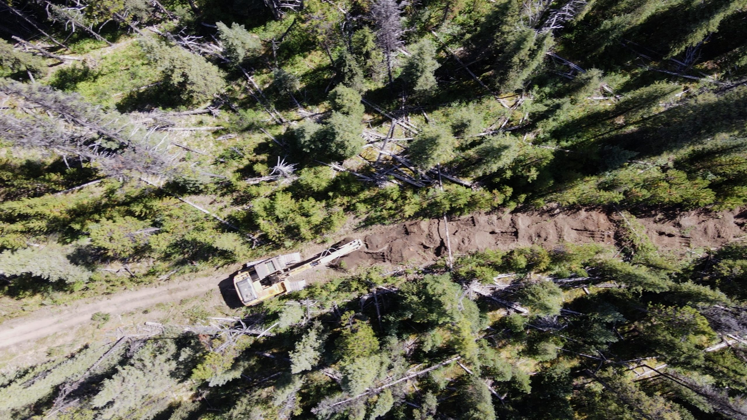
In 2018 Chu Cho Environmental identified several candidate roadways for restoration within the Chase caribou herd range with input from forest licensees, caribou biologists, and Tsay Keh Dene Nation. In total, Chu Cho Environmental and Tsay Keh Dene Nation have now completed restoration work on 3 roads within the Chase caribou herd boundary since 2019. Collectively, these projects have been a part of the larger Chase Caribou Road Restoration Program (CCRRP), with the Goldway road being the most recent restoration project.

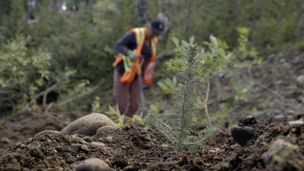
Planted Seedling – Chu Cho Environmental LLP
Sean Rapai of Chu Cho Environmental shares the challenges and lessons learned on this project including those around permitting, post-treatment monitoring and longer-term considerations.
Permitting: The historical presence of anadromous salmon in Johanson Creek, combined with the presence of bull trout and steelhead trout impacted the window for fording Johanson Creek with an excavator. It was necessary to submit an application to Fisheries and Oceans Canada (DFO) with the proposed plan and timing window of the work. The Letter of Advice was eventually secured which indicated work could proceed as planned. Best practices were outlined as well as recommendations for the fording process. This proved challenging, but the project did receive approval from DFO.
Monitoring: Ecological restoration treatments could take five or more years to begin to show results. With monitoring, we are attempting to answer a long-term set of questions and return to the site in the years immediately following restoration. Monitoring can be very costly as assessing control treatments is often restricted to the use of a helicopter. Chu Cho Environmental investigated the feasibility of using remotely piloted aircrafts (drones) as a more cost-effective method of monitoring restored areas in the short-term. This method was explored for monitoring remote roadways and restored areas.
Drone-based monitoring: Based on recommendations from 2021, Chu Cho Environmental deployed drone-based remote-sensing surveys to monitor vegetation using derived NDVI indices. Data was collected to a resolution of 1 m2 and can be paired with future surveys to track vegetation establishment and growth along large stretches of the road. While the use of a drone as a monitoring tool in this restoration program is in the preliminary stages, the ease of data collection and results suggest this is a viable means of evaluating vegetation indices on pre and post restoration roadways.
Stability of ecological restoration treatments: Year one monitoring of the ecological restoration techniques used in the project showed strong persistence of these treatments. The rough-and-loose soil contouring was stable, intact, and holding water, and planted seedlings had a high survival rate.
Recontouring inhibits human access: Areas recontoured with the rough-and-loose treatment had the least evidence of use by humans, including those on horseback. Aggressive recontouring of roads at strategic locations may be considered a viable tool to discourage trail usage and eliminate all-terrain vehicle use.
Snow alters access by motorized vehicles: Snowmobile use of the road was observed when the snow had accumulated above restoration efforts (i.e., above height of felled trees and mounds). While the effect of such anthropogenic use has yet to be studied here, considerations may be required for future restoration efforts or access management restrictions on snowmobile use.
Functional restoration: Felled trees were intact, and it was observed that larger diameter trees felled from steep cut banks created better movement barriers. Conversely, smaller diameter trees felled for functional restoration did not provide as good of a visual and physical barrier and is suggested that when small diameter trees are the only available source, they are felled in stacks. High survival of planted seedlings, following mechanical site preparation, suggests that tree planting is likely to provide visual screening over the long term, and may represent a more effective long term means of functionally restoring these roadways.
The Goldway road lies within the range of the Chase caribou (Rangifer tarandus caribou) herd, which is considered by the federal government of Canada to be part of the Northern group of the Southern Mountain population of Woodland caribou. This herd is listed as threatened on Schedule 1 of the Species At Risk Act (SARA).


