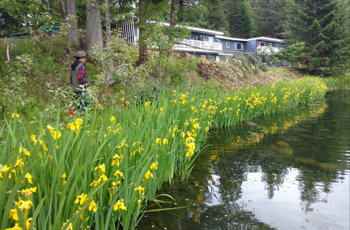
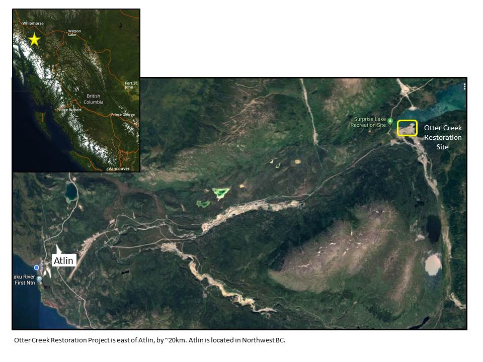
Scanning the edge of wetlands, streams, lake shorelines, and shallow ponds you may notice a plant with dark green sword-like leaves and beautiful yellow flowers. But underneath the spring blooms and rich foliage Yellow Flag Iris forms an extensive thick mat of interconnected roots (rhizomes) which damage wildlife habitat, reduce water flow, and crowd out native vegetation. The plant is also poisonous to livestock if ingested and causes skin irritation in humans. It can be found in the lower mainland of BC and Vancouver Island, extending to the Southern Interior of BC through to North Thompson, Shuswap, Central Cariboo, into Similkameen Valley and Christina Lake as well as in the West Kootenays.
First introduced to North America in the 1800’s as an ornamental plant, like many invasive species this noxious weed reproduces quickly through seed dispersal, in addition to fragmentation of its horizontal root system. Seed pods can remain afloat for extended periods and may spread long distances through watercourses. The plant may take many years to (3-5) to produce the signature yellow flowers, so identification by leaves is important.
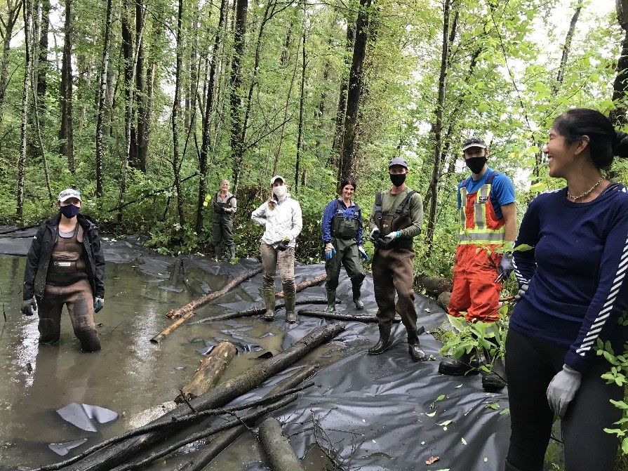
So how can this aggressive invasive species be managed? In 2020, HCTF began funding a project to provide education and training on the treatment and eradication of Yellow Flag Iris. Dr. Catherine Tarasoff of Agrowest Consulting has found that successful treatment of Yellow Flag Iris can be achieved with benthic barriers (aquatic barriers) and deep water cutting; however, land managers and stewards need to be properly trained in this method or Yellow Flag Iris will persist. Dr. Tarasoff set out to do just that; train stewards through the delivery of hands-on workshops across the province to put the tools in the hands of those closest to the problem.
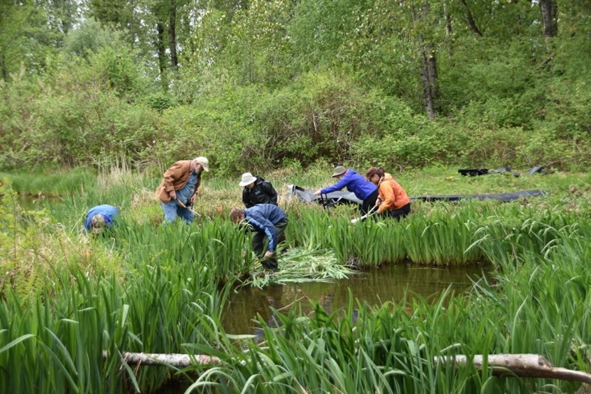
Those that attended the workshops learned all about the plants’ ecology, to better understand the effectiveness of treatment. Yellow Flag Iris have large carbohydrate-rich rhizomes allowing them to feed off energy stores, even in less than ideal conditions. When Yellow Flag Iris is growing in an upland terrestrial site, it uses aerobic respiration in the presence of oxygen to generate energy; however, in saturated aquatic habitats (where it is mostly found in BC), anaerobic respiration is utilized, and the byproduct is toxic gases released from the leaves. When the leaves are clipped and removed and the patch is covered in a benthic barrier, the plant continues to use up food resources from its rhizomes and expels toxic gases which cannot escape. Under the covering, the gases emitted from the plant bounce around like free radicals further destroying the plant and speeding up the process of eradication.
Despite challenges with COVID-19, the team has trained 174 participants through 19 workshops in the southern portion of the province. These participants went on to train several more staff and/or volunteers and treated approximately 3,900 m sq of Yellow Flag Iris! The team also made a short series of educational videos to help reinforce the information learned in the workshops.
Short Instructional Video Gallery
Dr. Tarasoff has found through trial and error, it is recommended to treat smaller areas thoroughly, rather than tackling large areas less intensively. With proper application of the benthic barrier, enough time (at least a full year), and proper monitoring of rhizomes, treatment success is very high, and native plants will begin to colonize the treated area from dormant bulbs, rhizomes, and tubers.
The team plans to continue delivery of their workshops across the province to train more local land managers and stewards on this method for management of yellow flag iris so they too, in turn, can educate and train others. This is a great example of how local expertise can be shared province-wide to create stewards with the knowledge and tools to tackle this invasive species and improve habitat for fish and wildlife in their own backyards.
Other funding partners include Wildlife Habitat Canada.


