Wed, 7 Jul 2021

Project Profile: Amoco Road Restoration Project

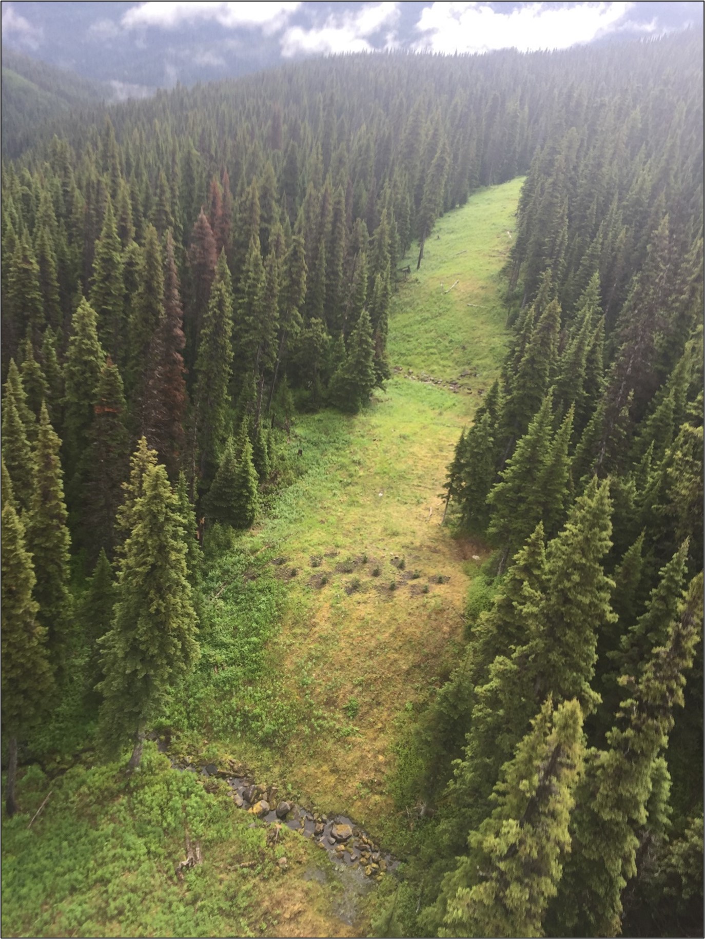
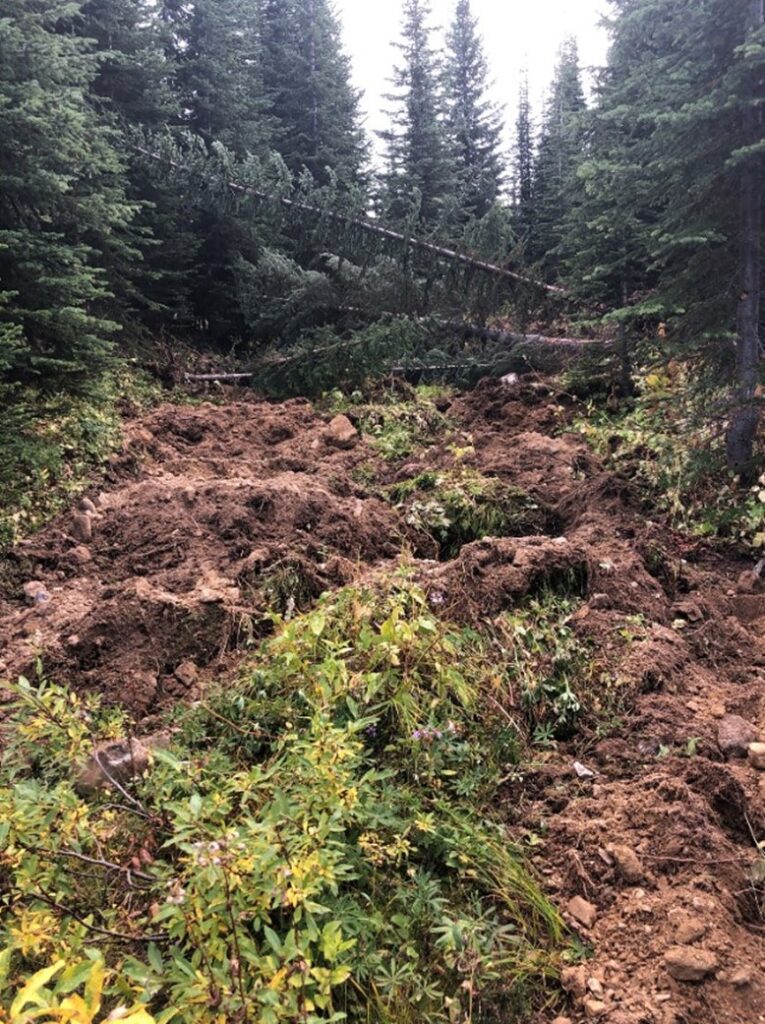
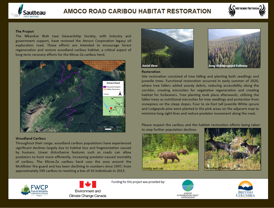
The Amoco Road restoration site is a legacy oil and gas road that stretches from valley bottom to the alpine in the Klinse-Za caribou herd in northeastern BC. Twenty-two years after the road was installed, the site is still dominated by non-native grass species, which has prevented naturally re-seeded seedlings from establishing and growing. As a result, the road remains a large scar on the landscape and fragments the mature forest ecosystem. The road also creates an easy travel route for predators to access critical caribou habitat in the alpine, and large stretches of open road also enable predators to spot caribou further away, improving their hunting efficiency. Use of the road by snowmobiles during the winter allows wolves easy travel along the packed trails into the alpine, increasing risk of predation on caribou. To speed up forest recovery and reduce the use of the road by predators, the Nîkanêse Wah tzee Stewardship Society has undertaken steps to restore the road to a forested ecosystem, thereby restoring critical caribou habitat. Restoration activities such as the planting of seedlings and juvenile trees along the road and the falling of dead trees across the road surface were completed in Summer 2020. These restoration activities will speed up natural forest regeneration and limit the ability of predators to use the corridor to access critical caribou habitat. Moving forward, activities, such as tree regeneration surveys and wildlife use monitoring, will be continued to determine the success of the restoration activities.

This Caribou Habitat Restoration Fund project was undertaken with the financial support of the Province of British Columbia and the Government of Canada through the federal Department of Environment and Climate Change.


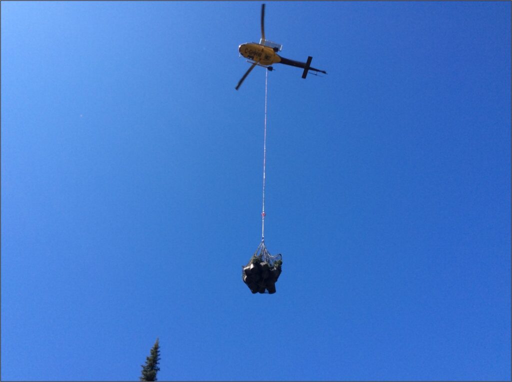
Amoco Road restoration helicopter

Juvenile hybrid spruce and lodgepole pine trees being transported onto Amoco Road restoration site, Summer 2020.


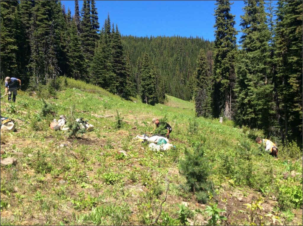
Crews planting juvenile hybrid spruce and lodgepole pine trees on Amoco Road.

Crews planting juvenile hybrid spruce and lodgepole pine trees on Amoco Road restoration site, Summer 2020.

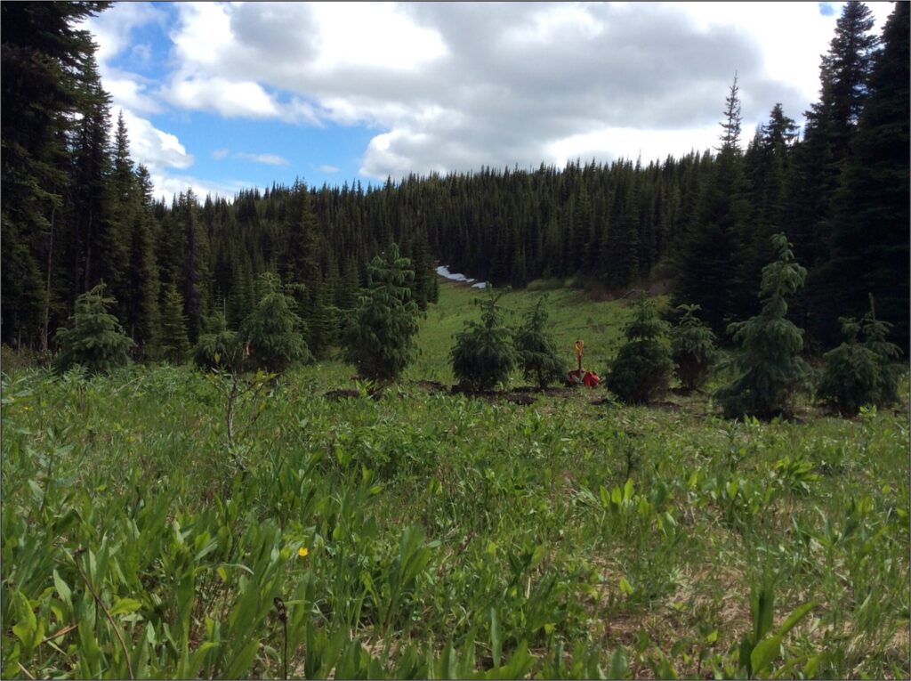
Juvenile hybrid spruce and lodgepole pine trees planted on Amoco Road.

Juvenile hybrid spruce and lodgepole pine trees planted in theatre-style spacing on one of the seven planting sites on Amoco Road restoration site, Summer 2020.

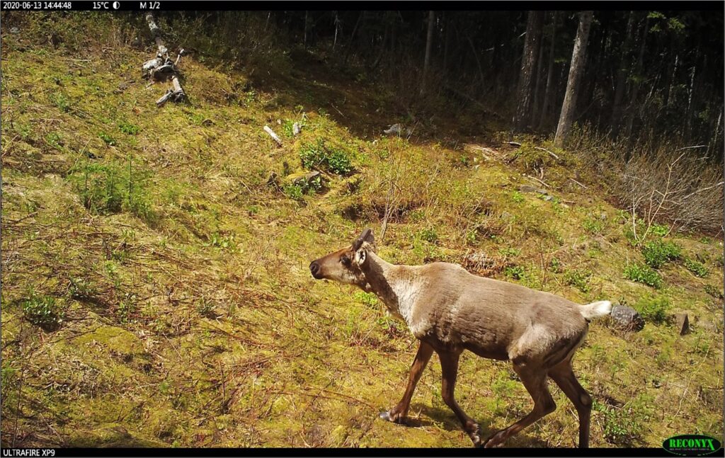
Caribou detected on a camera trap on Amoco Road restoration site, Summer 2020.

Caribou detected on a camera trap on Amoco Road restoration site, Summer 2020.


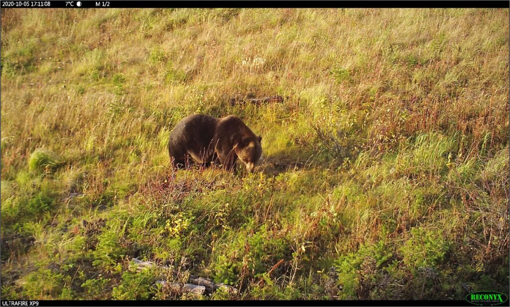
Grizzly bear

Grizzly bear detected on a camera trap on Amoco Road restoration site, Fall 2020.


Tue, 6 Jul 2021

South Okanagan gains 151 acres of protected land to foster biodiversity and protect critical habitats

Park Rill Floodplain, Stewart Ranch (photo by Graham Osborne)

This land preserves habitats for species at risk including the Lewis’s Woodpecker, Peregrine Falcon, and Western Screech Owl


The Nature Trust of BC, a leading non-profit land conservation organization, announced today that, with the help of donations from conservation-minded individuals, 61 hectares (151 acres) of ecologically important land, known as the Park Rill Floodplain, will be added to the White Lake Basin Biodiversity Ranch conservation complex in the South Okanagan. Connectivity of habitats is critically important for fostering biodiversity, so the conservation of this property will add to the resilience of wildlife in the ecosystems all around.

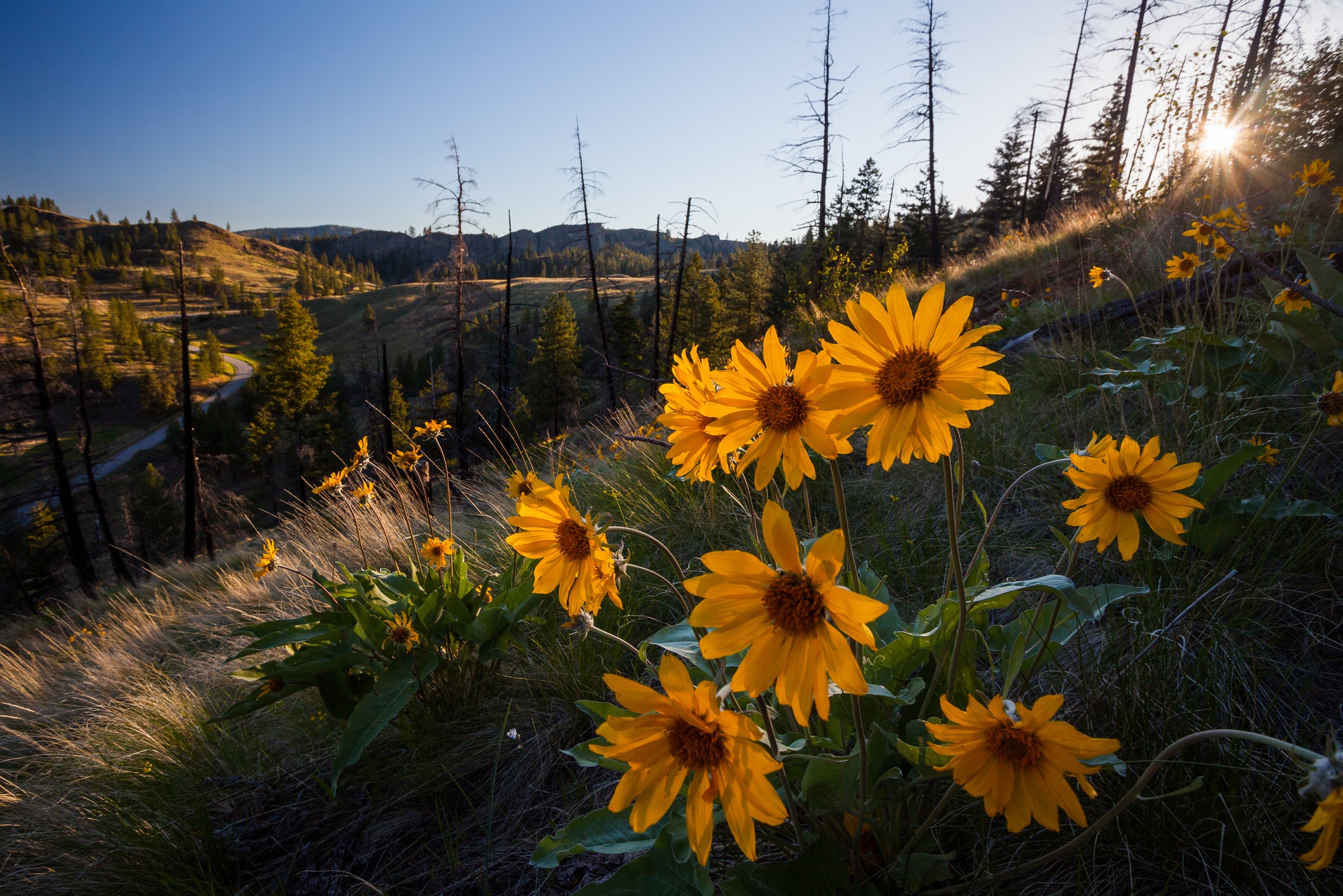
The native grasslands of the South Okanagan are a hotspot for biodiversity, hosting a huge number of BC’s at-risk species. But, grasslands are also one of the rarest land cover types in BC covering less than 1% of BC’s land base, with few intact swaths of open plains remaining.

Located approximately 3 km northwest of the community of Willowbrook within the Regional District of Okanagan-Similkameen, the Park Rill Floodplain property supports many species of conservation concern and provides critical habitat for federally listed species at risk. The Lewis’s Woodpecker (listed as threatened under SARA Schedule 1) is at-risk from the loss of its nesting habitat in Ponderosa Pine forests.

With its diversity of ecosystems, Park Rill Floodplain is home to many other birds that are a conservation concern, from the BC Red-listed Peregrine Falcons (SARA Schedule 1 – Special Concern) that stalk the daytime skies, to the Blue-listed Western Screech Owls (SARA Schedule 1 – Threatened) that hunt in the night.

“Through the ongoing support and generosity of our partners and donors, we are delighted that Park Rill Floodplain will be added to the White Lake Basin Biodiversity Ranch Complex. Park Rill Floodplain protects additional critical habitat for species at-risk and helps sustain a viable biodiversity ranching operation. Expanding this Nature Trust conservation complex will play a vital role in maintaining habitat connectivity and ecological resiliency.” says Nick Burdock, Okanagan Conservation Land Manager.
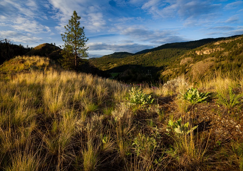
Birds aren’t the only creatures to inhabit the natural landscape of Park Rill Floodplain. Endangered American Badgers burrow under the ground, while at dawn and dusk the Nuttall’s Cottontail can be seen through the underbrush. The smallest species of rabbit in BC, Nuttall’s Cottontail is a special conservation concern because of the loss of its grassland habitat. Black bears wander the rich meadows and in winter, Mule Deer migrate down from the heavier snow of higher elevations to feed on leaves, twigs, and shrubs in the low-lying grasslands of Park Rill Floodplain. Along with these mammals, there are at-risk amphibians and reptiles like the Western Tiger Salamander, Great Basin Spadefoot, Great Basin Gopher Snake, and Western Rattlesnake.

It is difficult to find low-land habitats unaffected by development, but three quarters of Park Rill Floodplain remains in a relatively natural state, allowing it to support six sensitive ecosystems: sagebrush steppe, open coniferous woodland, seasonally flooded fields, wet meadow, sparsely vegetated rocky outcrops, and importantly, grasslands. The remaining area is a cultivated floodplain surrounding Park Rill Creek, however with the conservation of this land by The Nature Trust of BC, it can be restored to a natural state.

“The diversity of species and habitats protected by this project exemplifies the importance of the native grasslands within the South Okanagan. The Nature Trust of BC has a sterling track record for protecting, managing and restoring these and other critical habitat types in BC. For that reason, the Habitat Conservation Trust Foundation is a proud funding partner of the Nature Trust and of our shared goals of conserving fish, wildlife and their habitats through the protection and conservation of BC’s natural landscapes.” – Dan Buffett, CEO of the Habitat Conservation Trust Foundation.

With the conservation of Park Rill Floodplain, the home of these species and many more are protected in perpetuity. Expanding the protected areas within Okanagan grasslands will serve to maintain its rich biodiversity for generations to come.

The Nature Trust thanks landowners and conservationists Ray and Jennifer Stewart who have cared for the land for 33 years.

This project was undertaken with the financial support of Environment Climate Change Canada, Habitat Conservation Trust Foundation, George Galbraith and Family, Val and Dick Bradshaw, and many individual donors.


Contributed by The Nature Trust of British Columbia
Thu, 1 Jul 2021

Project Profile: Kotcho Lake Restoration Project

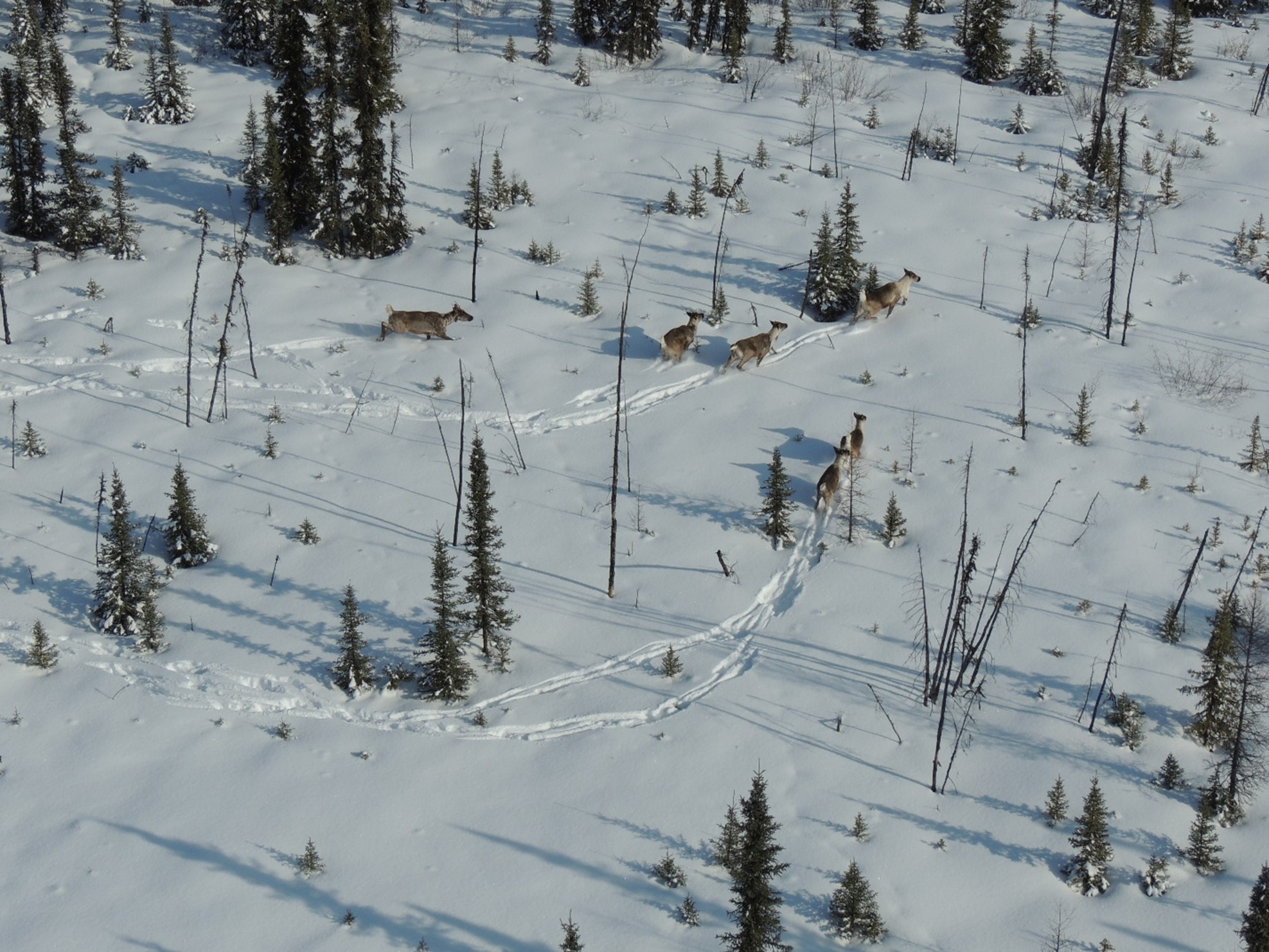
Aerial photo of caribou in Kotch Lake restoration area.

The Kotcho Lake Caribou Habitat Restoration Fund project is focused on restoring legacy seismic lines in core boreal caribou habitat located in the Snake Sahtenah range. Fort Nelson First Nation (FNFN) identified this area as a high priority for restoration due to the cultural importance of the area, the value of the area for caribou and other species, and the very high density of old seismic lines, which were not recovering on their own. Restoration work is conducted in the late summer, using light machinery to access intersections of old seismic lines and transplant “donor” mounds from areas beside the seismic lines. Donor mounds are then transplanted with black spruce seedlings, and trees are felled around the transplanted sites to block the lines until the mounds can establish. By treating in the summer, FNFN believe that restored sites will more closely resemble natural sites than areas treated in the winter. Summer treatments may also prove less expensive than winter work, which is currently the industry standard for restoring these sites. FNFN’s hypothesis is that the donor mounds will quickly establish on seismic lines and accelerate ecological recovery. By treating line intersections, they anticipate seeing reduced use of the untreated areas between the intersections by wolves and other predators. Overall, FNFN hope this approach (treating in the summer; hummock transplants and tree falling; focusing on intersections; and selecting key access routes) can result in effective restoration over a large area of the landscape. Monitoring of the vegetation response, the wildlife use of treated and untreated areas, and the overall cost of the treatments in comparison to winter work is ongoing to determine treatment effectiveness. You can read the full Year 2 technical report about this project here.

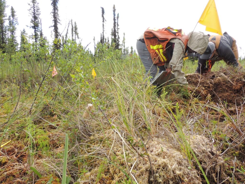
Katherine and Susan monitoring restoration works

Katherine and Susan monitoring restoration works

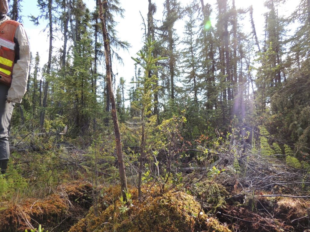
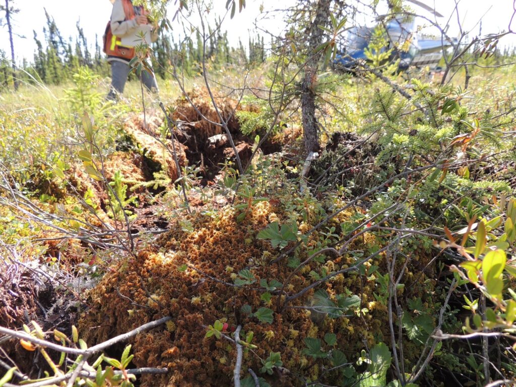
Tree growing like a boss in a transplanted hummock.

Tree growing in a transplanted hummock.


Woody vascular species also appear to be growing well on the hummocks.

We gratefully acknowledge the financial support of the Province of British Columbia through the Ministry of Forests, Lands, Natural Resource Operations and Rural Development for making this project possible.
Fri, 11 Jun 2021

Project Profile: Adams Groundhog Road Rehabilitation and Reforestation Project

Goat Creek Road following treatment

This Caribou Habitat Restoration Fund project is designed to benefit the Groundhog caribou herd in the Upper Adams River Valley and is led by the Ministry of Forests, Lands, Natural Resource Operations and Rural Development. The project targets forest roads within, adjacent or leading to critical high elevation caribou habitat.

Forest professionals assessed and prescribed treatments on suitable roads that were no longer needed. In 2019-20, a total of 41 km of road was assessed and this led to 14.1 km of treatments being prescribed and completed in 2020. The primary treatment was road rehabilitation using an excavator to decompact the road surface, redistribute woody debris & organic material, and restore natural drainage patterns. Rehabilitation treatments prepared the sites for reforestation (tree planting) in 2021. Support and participation of First Nations was integral to the success of this project. Local First Nations supported restoration at this site and the Adams Lake Indian Band had the capacity and resources to complete all road works and provide professional oversight.

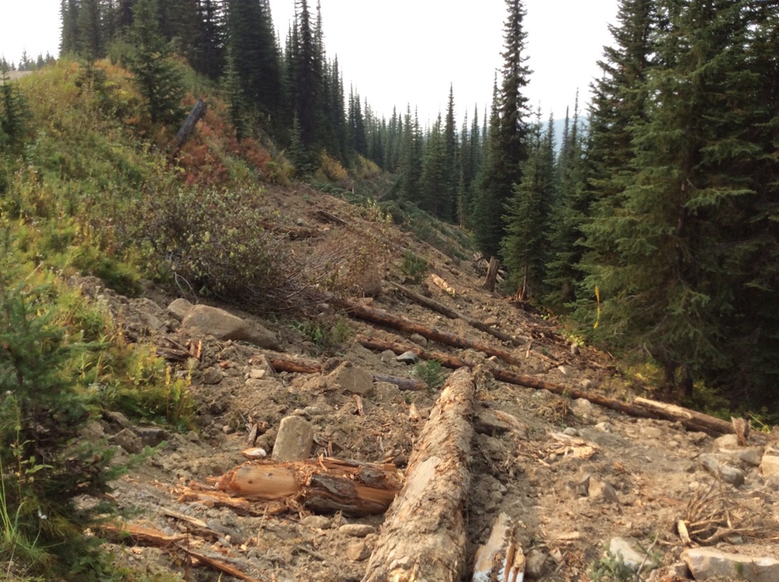
Before:

Goat Creek Road prior to restoration

Goat Creek Road prior to restoration.


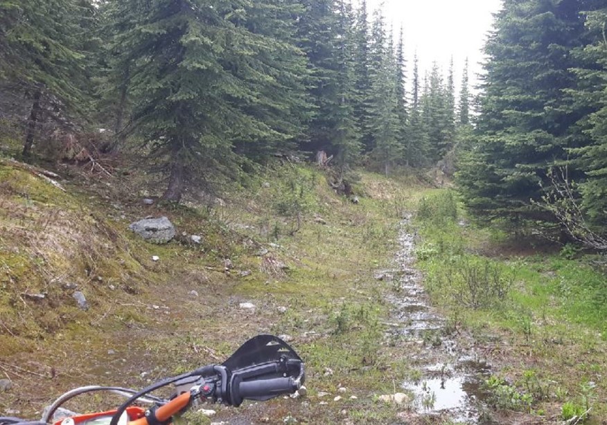
After:

Goat Creek Road after restoration

Goat Creek Road after restoration

We gratefully acknowledge the financial support of the Province of British Columbia through the Ministry of Forests, Lands, Natural Resource Operations and Rural Development for making the Caribou Habitat Restoration Fund possible.
Wed, 14 Apr 2021

Now Accepting PCAF Grant Applications for 2021-22

Removing invasive plant species in Kamloops (photo by Neil Fletcher)

HCTF is now accepting applications for the Public Conservation Assistance Fund (PCAF)! Applications can be submitted through HCTF’s NEW online system before 4:30pm (PST) on Friday, May 14, 2021.

HCTF has launched a new Survey Apply application system this year. The overall application form is similar to previous years, but this new cloud-based system will provide significant improvements by streamlining workflow and adding automated services to increase convenience for applicants.

Before beginning your application on the Survey Apply system, we strongly recommend that you complete your application on the Word worksheets posted on our website. Once completed you can copy-and-paste your answers into the online form. The worksheets also provide a useful overview of the questions and information requirements.

Please visit our PCAF FAQ to find useful tips and guidance for the new Survey Apply system. To access application resources and the link to apply, visit our PCAF Apply webpage.

Questions? Please contact Lisa Wielinga for further details.

Mon, 22 Mar 2021

60+ Conservation Projects funded through NEW Conservation Economic Stimulus Initiative

B.C.’s Ministry of Environment and Climate Change Strategy (MOE) has allocated $10 million in funding for ecosystem and species conservation via the Conservation Economic Stimulus Initiative (CESI). As part of StrongerBC, this new program will support B.C.’s economic recovery by investing in ecosystem and species restoration projects across the province. These projects will employ British Columbians, with a focus on demographics such as young adult, women, and Indigenous People who have been disproportionately affected by COVID-19, by funding “shovel ready” conservation projects that will also help to protect and improve B.C.’s diverse ecosystems, wildlife, and freshwater fish species.

Conservation and restoration projects will be underway in threatened habitats, such as wetlands, grasslands, forests, rivers, and streams. On southern Vancouver Island, the Koksilah and Chemainus watersheds support large populations of steelhead and salmon species. They have significant historical and cultural values for Cowichan Tribes. However, climate change, along with water and land-use practices, are impacting salmon in the area and their habitats. The Cowichan Watershed Board will assess salmon populations, study the water levels that support salmon habitat and restore habitat along the rivers.

“The Koksilah and Chemainus river ecosystems are being threatened by climate change, which we know will have impacts on salmon and everything that depends on them for decades to come. By bringing together Indigenous knowledge of the past with scientific study of the rivers today, we can understand how to plan for these changes,” said Chief William Seymour of the Cowichan Tribes. “This is critical work for our Nations’ food and culture, but healthy salmon watersheds feed species all up and down the coast and are a benefit to the whole province.”

More than 60 projects dedicated to restoring diverse ecosystems and conserving fish, wildlife, and habitat are planned or underway throughout B.C. The projects, which are being completed through partnerships with Indigenous communities, environmental groups, universities, and local stewardship organizations, help ensure B.C.’s unique species and ecosystems stay healthy, vibrant, and resilient.

BC Government News Release CESI Preliminary Project List More Info & FAQs