Fri, 11 Feb 2022

Better together: How collaboration has furthered conservation efforts along Lower Otter Creek

Restoration of Lower Otter Creek will secure important habitat for species like Arctic Grayling

The Lower Otter Creek Wetland Restoration Project showcases the strength of working together to achieve conservation goals across the province. From Leadership to funding, partnerships have been key to the project’s success.

The Taku River Tlingit First Nation (TRTFN) has led the project in close association with the BC Ministry of Energy, Mines and Low Carbon Innovation (EMLI), the community of Atlin, and consultants. The Ministry of Environment and Climate Change Strategy (MOE) provided funding through the Conservation Economic Stimulus Initiative for ecosystem and conservation initiatives. The placer mining industry also provided funding, exemplifying the power of partnerships across public, private, local, and provincial scales.

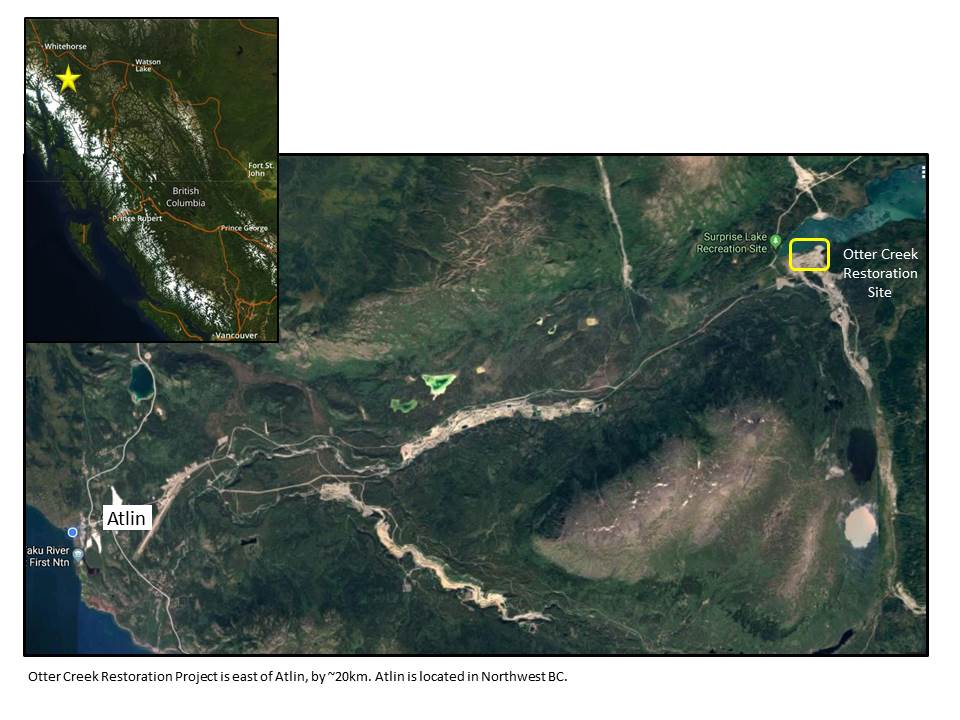
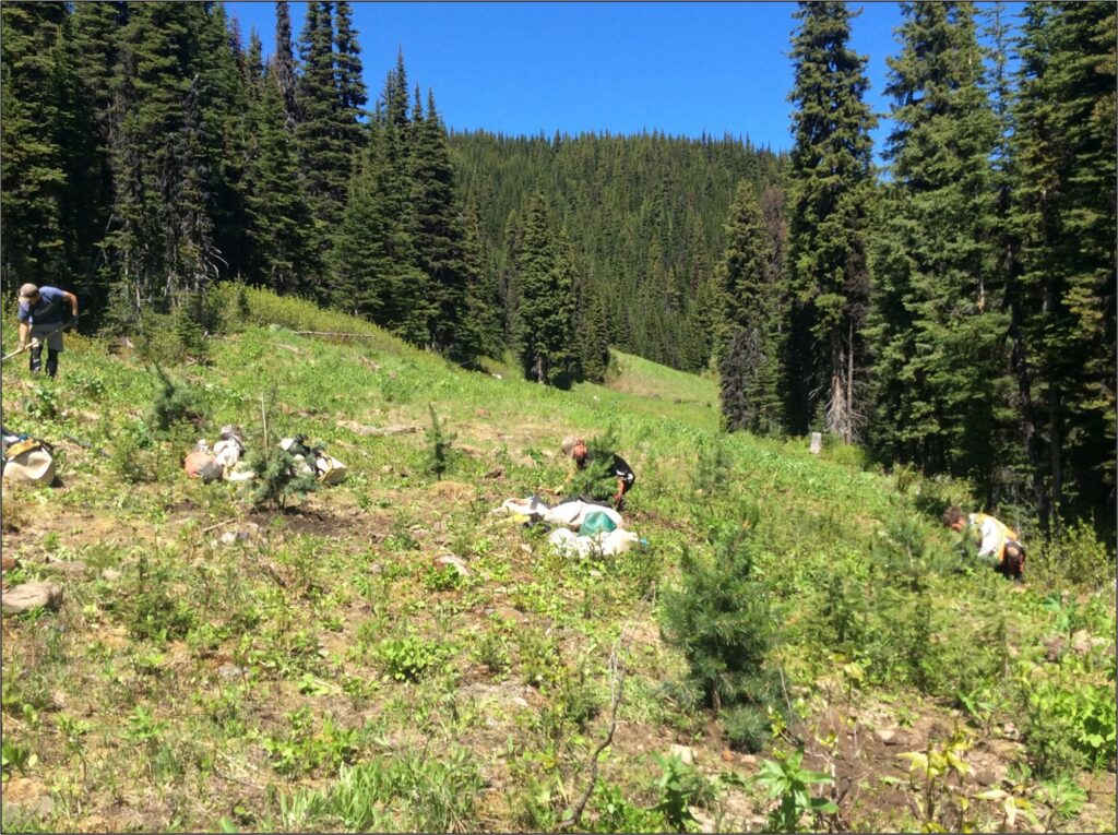
Thanks to hard work and collaboration, project proponents have successfully restored a historically altered creek and enhanced habitat around Lower Otter Creek and Surprise Lake—remote wetland areas roughly 20 km from Atlin, BC.

A joint effort

The Habitat Conservation Trust Foundation (HCTF) is responsible for the management and administration of a $700,000 grant provided by the MOE through the province’s Conservation Economic Stimulus Initiative (CESI)—an initiative designed to create conservation jobs for people who have been disproportionately affected by the pandemic.

The project has also received additional funding and in-kind support from the placer mining industry, TRTFN, the provincial government, consultants, and the local community—a testament to the notion that all players truly have a “seat at the table”.

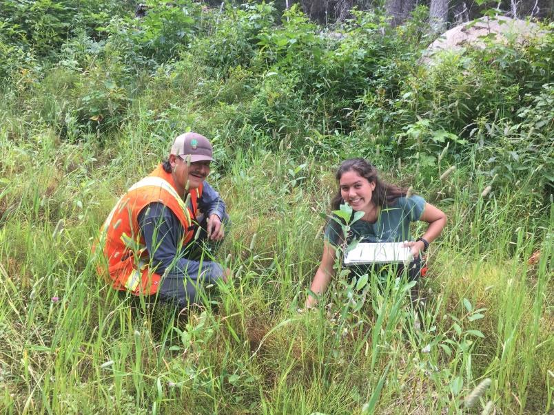
Jackie Caldwell, project lead and Mining Officer for TRTFN, has seen the power of partnerships first-hand and believes the project offers an opportunity to promote future collaboration within the community.

“It’s been really great to see that kind of collaboration coming together. I’m hoping that the project will showcase to the entire Atlin community, that if we put our minds together, we can achieve great things.”

About the project

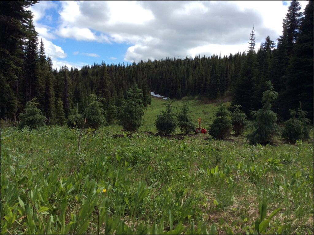
The project began in 2017 and aims to restore a historically altered creek, stabilize the shoreline and improve water quality—all of which will benefit local wildlife, including Arctic grayling populations who have experienced notable declines over the past decade.

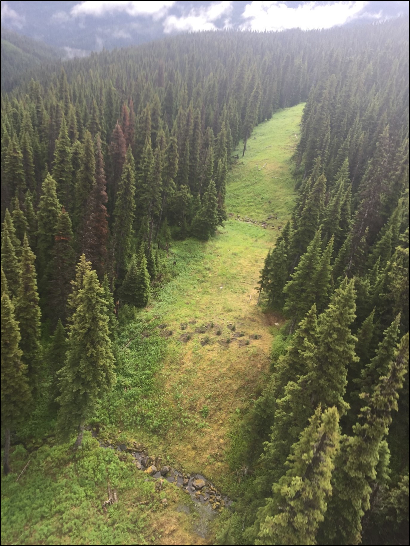
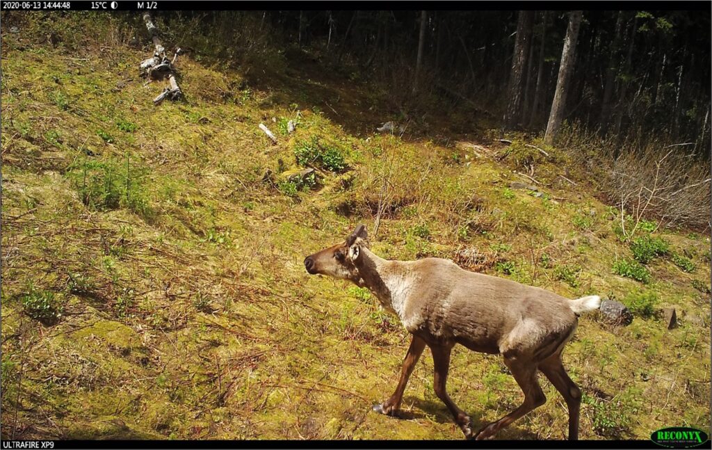
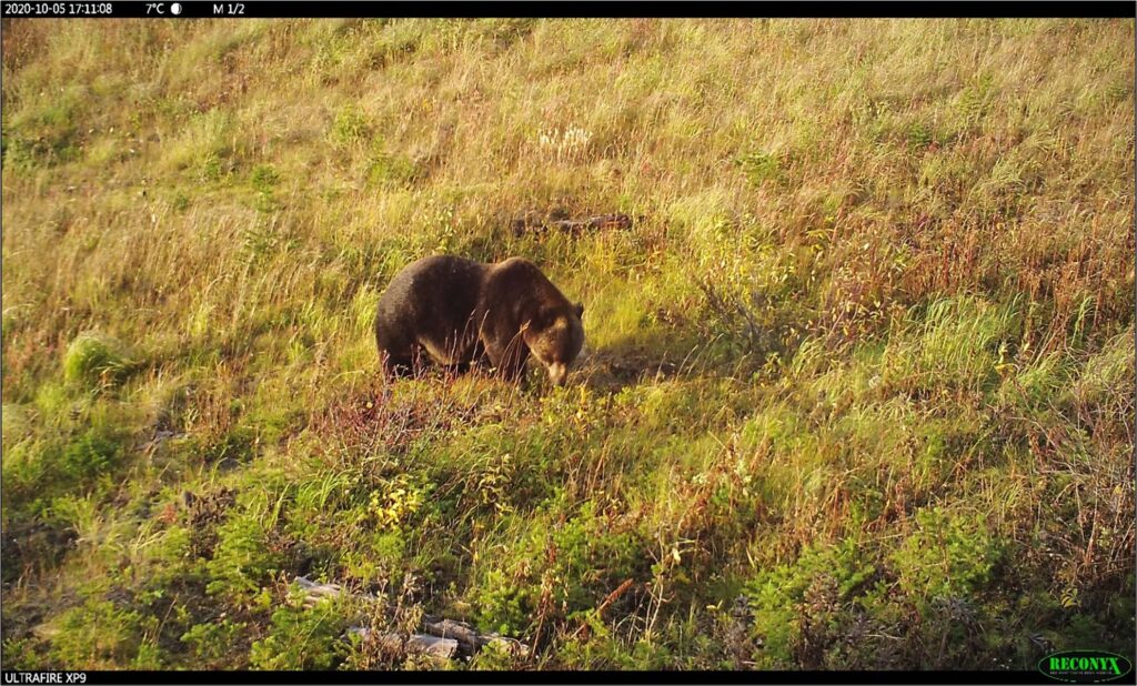
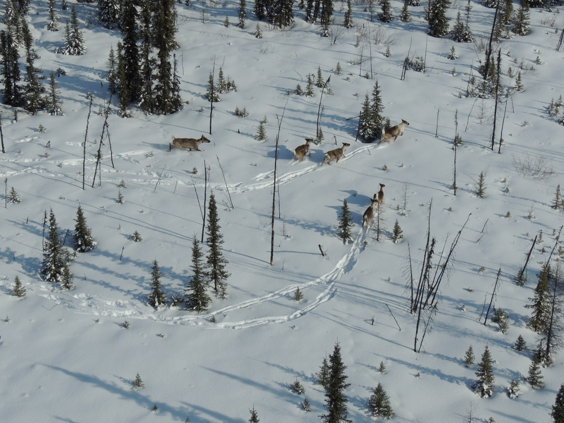
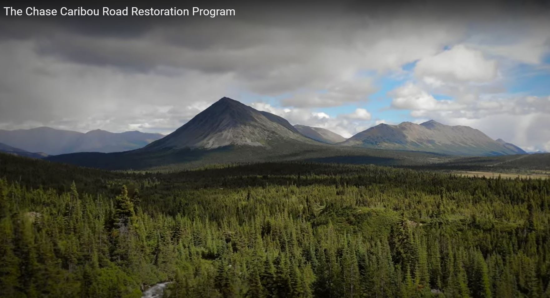
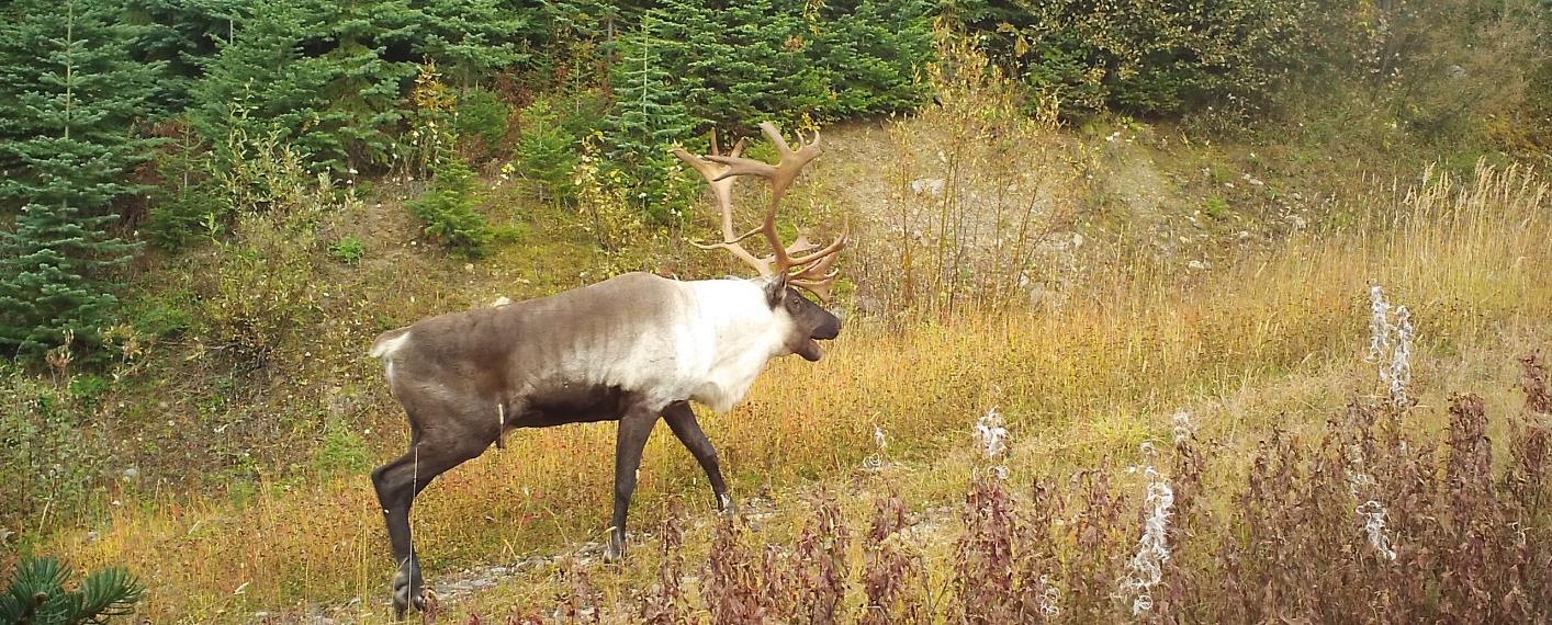
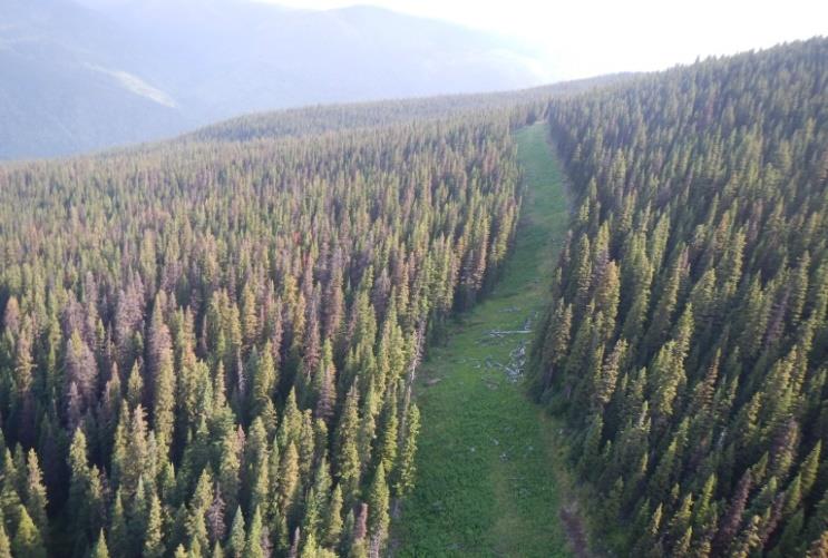
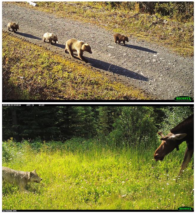
Several other species will also benefit from the project including bears, moose, and in the future, caribou. The area is currently a barrier for caribou migration, but project leads are hopeful that the new vegetation will expand the historic migration corridor that has been heavily fragmented by industrial development across northern BC.

“The goal of the project is essentially to take a non-productive portion of the stream and make it productive for wildlife use again,” explains Caldwell.

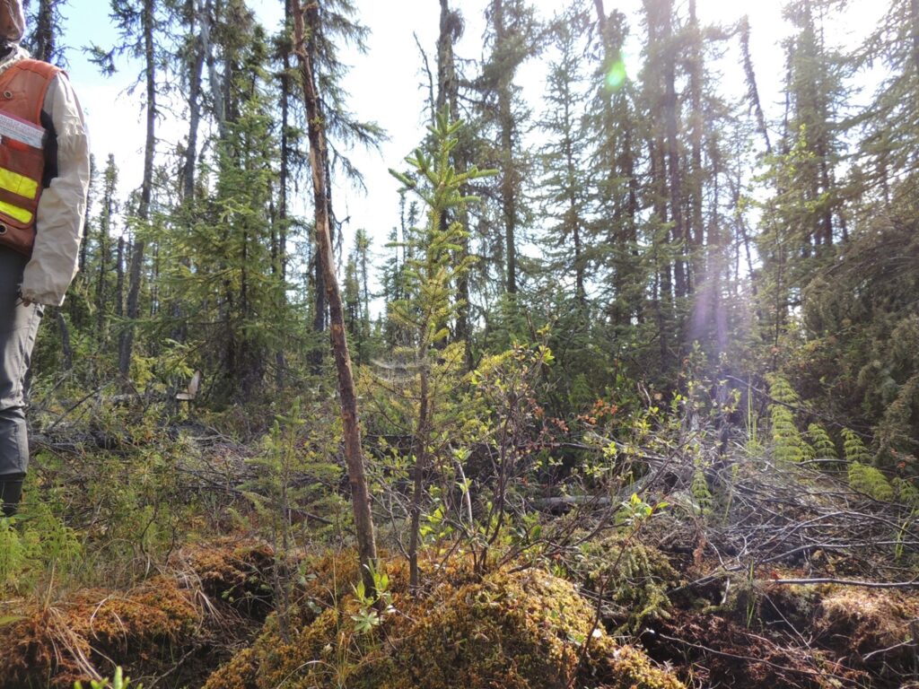
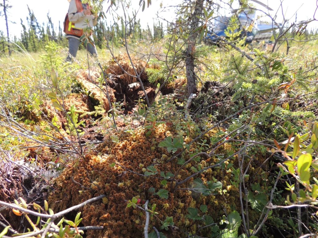
By diverting Lower Otter Creek into a more gently sloped path, the project has successfully turned a fast-flowing creek into a slow, meandering one. This change has allowed sediment from upstream mining activities and unstable slopes to settle out before entering Surprise Lake, improving both water quality and shoreline stability, and creating an environment conducive to vegetation growth.

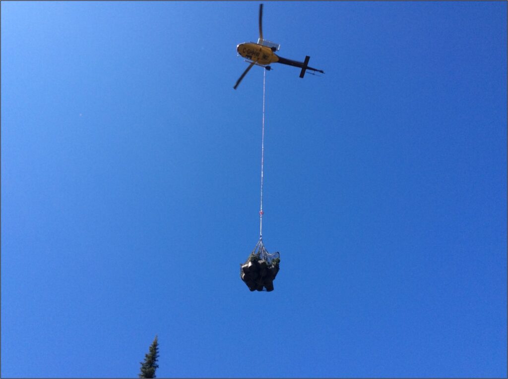
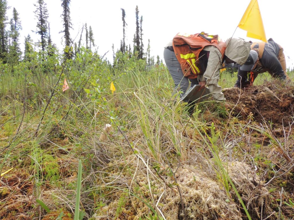
To date, the engineering and construction work has been completed and additional plantings are scheduled for the spring of 2022.

Participation where it’s least expected

Due to a long history of placer mining in the region, the damage is considered a legacy disturbance, meaning there is no sole party that can be held responsible.

“It was a great starting point because it offered a project that we could all work on together,” says Caldwell.

Some of her favourite memories have involved collaboration with the community and she specifically recalls a time when an Atlin local volunteered to collect bear scat after posting the request on Facebook.

“One way to revegetate is to utilize natural seeds from the area like soapberry, crowberry, and Saskatoon berry,” explains Caldwell. However, to ensure successful germination, the seeds need to pass through the digestive tract of an animal.

Thanks to the support of an eager community member, Caldwell was able to collect more scat and has since distributed the native seeds throughout the site. “This was a great way to bring different people into the picture.”

Honouring Khustìyxh

By bringing multiple stakeholders together, the Lower Otter Creek Wetland Restoration Project has not only highlighted the power of partnerships, but it has also honoured the Tlingit ‘way of life’— khustìyxh.

“Khustìyxh is the concept that we’re not here to take from the land. The Tlingit are here to make sure the land prospers for future generations and everything we do should come back to that concept,” explains Caldwell.

The project has taken a historically disturbed area and given it new life, allowing future generations to both enjoy and live off the land.


The Conservation Economic Stimulus Initiative is funded by B.C.’s Ministry of Environment and Climate Change Strategy which has allocated $10 million in funding for ecosystem and species conservation. As part of B.C.’s Economic Recovery Plan, this program will support B.C.’s economic recovery by investing in ecosystem and species restoration projects across the province. These projects will employ British Columbians, with a focus on demographics such as young adults, women, and Indigenous People who have been disproportionately affected by COVID-19, by funding “shovel ready” conservation projects that will also help to protect and improve B.C.’s diverse ecosystems, wildlife, and freshwater fish species.

Wed, 7 Jul 2021

Project Profile: Amoco Road Restoration Project

The Amoco Road restoration site is a legacy oil and gas road that stretches from valley bottom to the alpine in the Klinse-Za caribou herd in northeastern BC. Twenty-two years after the road was installed, the site is still dominated by non-native grass species, which has prevented naturally re-seeded seedlings from establishing and growing. As a result, the road remains a large scar on the landscape and fragments the mature forest ecosystem. The road also creates an easy travel route for predators to access critical caribou habitat in the alpine, and large stretches of open road also enable predators to spot caribou further away, improving their hunting efficiency. Use of the road by snowmobiles during the winter allows wolves easy travel along the packed trails into the alpine, increasing risk of predation on caribou. To speed up forest recovery and reduce the use of the road by predators, the Nîkanêse Wah tzee Stewardship Society has undertaken steps to restore the road to a forested ecosystem, thereby restoring critical caribou habitat. Restoration activities such as the planting of seedlings and juvenile trees along the road and the falling of dead trees across the road surface were completed in Summer 2020. These restoration activities will speed up natural forest regeneration and limit the ability of predators to use the corridor to access critical caribou habitat. Moving forward, activities, such as tree regeneration surveys and wildlife use monitoring, will be continued to determine the success of the restoration activities.

This Caribou Habitat Restoration Fund project was undertaken with the financial support of the Province of British Columbia and the Government of Canada through the federal Department of Environment and Climate Change.


Amoco Road restoration helicopter

Juvenile hybrid spruce and lodgepole pine trees being transported onto Amoco Road restoration site, Summer 2020.


Crews planting juvenile hybrid spruce and lodgepole pine trees on Amoco Road.

Crews planting juvenile hybrid spruce and lodgepole pine trees on Amoco Road restoration site, Summer 2020.

Juvenile hybrid spruce and lodgepole pine trees planted on Amoco Road.

Juvenile hybrid spruce and lodgepole pine trees planted in theatre-style spacing on one of the seven planting sites on Amoco Road restoration site, Summer 2020.

Caribou detected on a camera trap on Amoco Road restoration site, Summer 2020.

Caribou detected on a camera trap on Amoco Road restoration site, Summer 2020.


Grizzly bear

Grizzly bear detected on a camera trap on Amoco Road restoration site, Fall 2020.


Thu, 1 Jul 2021

Project Profile: Kotcho Lake Restoration Project

Aerial photo of caribou in Kotch Lake restoration area.

The Kotcho Lake Caribou Habitat Restoration Fund project is focused on restoring legacy seismic lines in core boreal caribou habitat located in the Snake Sahtenah range. Fort Nelson First Nation (FNFN) identified this area as a high priority for restoration due to the cultural importance of the area, the value of the area for caribou and other species, and the very high density of old seismic lines, which were not recovering on their own. Restoration work is conducted in the late summer, using light machinery to access intersections of old seismic lines and transplant “donor” mounds from areas beside the seismic lines. Donor mounds are then transplanted with black spruce seedlings, and trees are felled around the transplanted sites to block the lines until the mounds can establish. By treating in the summer, FNFN believe that restored sites will more closely resemble natural sites than areas treated in the winter. Summer treatments may also prove less expensive than winter work, which is currently the industry standard for restoring these sites. FNFN’s hypothesis is that the donor mounds will quickly establish on seismic lines and accelerate ecological recovery. By treating line intersections, they anticipate seeing reduced use of the untreated areas between the intersections by wolves and other predators. Overall, FNFN hope this approach (treating in the summer; hummock transplants and tree falling; focusing on intersections; and selecting key access routes) can result in effective restoration over a large area of the landscape. Monitoring of the vegetation response, the wildlife use of treated and untreated areas, and the overall cost of the treatments in comparison to winter work is ongoing to determine treatment effectiveness. You can read the full Year 2 technical report about this project here.

Katherine and Susan monitoring restoration works

Katherine and Susan monitoring restoration works

Tree growing like a boss in a transplanted hummock.

Tree growing in a transplanted hummock.


Woody vascular species also appear to be growing well on the hummocks.

We gratefully acknowledge the financial support of the Province of British Columbia through the Ministry of Forests, Lands, Natural Resource Operations and Rural Development for making this project possible.

Sun, 21 Feb 2021

Video: Chase Caribou Habitat Restoration Project

Caribou were once plentiful in BC, but now the majority of herds are at risk of extinction. Roads and corridors built for industrial development allow predators such as wolves easy access to the areas where caribou live. To help reduce caribou mortality, the Habitat Conservation Trust Foundation and the Province of BC are funding projects that make it more difficult for predators to use human-made corridors by piling woody debris and creating soil mounds at key junctions leading to caribou habitat. Trees are also planted to help return these areas to a more natural state. Many of these caribou habitat restoration projects are led by First Nations, including the Caribou Flats restoration project.

Caribou Flats roadway lies within the population boundary of the Chase caribou herd, part of the Southern Mountain population of Woodland caribou. This herd is listed as threatened on Schedule 1 of the Species At Risk Act (SARA). In 2018, Chu Cho Environmental identified several forest roads within chase caribou herd range boundary which had potential for habitat restoration. These roads were identified with input from forest licensees, caribou biologists familiar with this herd, and Tsay Keh Dene Nation. In 2019, Chu Cho Environmental and Tsay Keh Dene Nation undertook habitat restoration activities to restore the roadway at Caribou Flats. A combination of functional and ecological restoration techniques were used. Functional restoration involved access control, slash rollback, and tree felling and hinging across the roadway, to make the road less-suitable for predator travel and human use. The intent of the functional restoration was to reduce predator-prey interactions on the roadway. Ecological restoration involved soil ripping and decompaction of the road surface, and tree planting. The goal of tree planting was to accelerate the return of the area to a mature forest environment.

The project was completed in summer 2020 and the team at Chu Cho Environmental put together the following video to tell the story of the restoration process and how this work is contributing to conserving caribou in BC.


You can access the report for this project here.

Tue, 11 Aug 2020

Habitat restoration across the Klinse-Za caribou herd range

HCTF’s Caribou Habitat Restoration Fund (CHRF) provides funding for restoration of critical habitat for BC’s caribou herds. This includes multiple projects designed to benefit the Klinse-za herd led by the Nîkanêse Wah tzee Stewardship Society, a joint initiative of the West Moberly and Saulteau First Nations. The Society is working in partnership with a team from Wildlife Infometrics to restore disturbed habitat. Wildlife Infometrics recently shared the following update focused on the monitoring component of this work.

Why restore?

The Klinse-Za herd area, located between Mackenzie, Chetwynd and the Peace Arm of Williston reservoir, used to support a herd of almost 200 caribou as recently as 1995 and was said to be so numerous in historic times as be “like bugs on the land”. However, the herd has declined to under 40 individuals by 2013. Across BC, many caribou herds have experienced the same steep declines, and most of the struggling herds are inhabiting areas with generally more human disturbance and activity on the landscape. Specifically, industrial development has contributed to caribou declines as their habitat has been altered, displacing the caribou and making them more susceptible to predation. Since 2013, costly and intensive management efforts including maternity penning and predator removal have helped halt or reduce the rate of decline in some herds. However, these activities are not going to keep caribou on the land base over the long term. To improve caribou habitat, support the ecosystem and balance the predator-prey dynamics, we are implementing a large-scale habitat restoration project in the Klinse-za caribou herd area.

A road from low to high elevation provides an easy travel corridor for predators to access alpine refugia for caribou.

Restoration of habitat can involve a variety of activities. In the Klinse-za habitat restoration program, we focus our efforts on reforesting and restructuring linear features (e.g., old roads, seismic lines). This will limit the ability of predators to easily access caribou habitat and minimize caribou- predator interactions. Over time, reforesting the features will return the ecosystem to a more natural state.

Why monitor?

Crew member installing trail camera over an old road.

Our restoration project has two components, both equally important to the long-term success and usefulness of this endeavor. The ‘implementation’ piece is where features on the landscape actually change the way they look, appear to wildlife, or function within the ecosystem. These are the actions that include road structure modifications, tree planting, access alterations and other physical changes. To evaluate how much of a difference these changes made and how caribou and other wildlife are responding to them, we have a detailed monitoring program of data collection and analysis. It’s the monitoring that allows us to understand whether we’re meeting our objectives and make improvements to our plans if necessary.

Currently, our monitoring program has two main components: measuring changes in vegetation in response to restoration of linear features, and tracking wildlife and human road users through a network of trail cameras.

Trail camera discoveries

Motion activated trail cameras allow us to ‘have eyes’ across very large spatial extents, at all hours of the day and night. Since we currently have 200 cameras deployed across 7 different sites, we are monitoring a total of about 50 km of linear features. This large scale has allowed us to capture some interesting, valuable and sometimes surprising footage of the four-legged residents of our project area. One of the most vivid observations to date has been the large number of grizzly bears across the area – we have observed many sows with 2 to 3 cubs in tow, large males and several bears having a good scratch on trees, though our favourite picture remains a beautiful sunset image of a sow walking down the road with her three cubs!

Above: a grizzly sow walking down the road with her three cubs. Below: a tense face-off between wolf and moose – we don’t know what the outcome was.

We have also observed a wide suite of other predators, including black bears, wolves, cougars, lynx, coyotes, wolverines, and more. While we are hoping to reduce predator access into alpine areas, it is nonetheless interesting to see such a diversity of predators in one area. We also see ungulates making extensive use of the linear feature, with moose being most abundant. Caribou and elk are both seen periodically.

Vegetation sampling: getting into the weeds

Tracking vegetation is important for two reasons. First, plants are essential as they form the basis of the food chain: vegetation provides energy to herbivores (large and small), who in turn support a variety of predators. Second, plants are highly responsive to environmental conditions such as moisture, shade, and soil type, and can thus be effectively used as indicators of habitat change. Since our goal with restoration is to alter existing linear disturbances so that they more closely resemble the surrounding habitat, we use a ‘before-and-after’ vegetation sampling approach. Specifically, we are collecting data about the plants on and near the linear features now (the ‘before’), and will collect the same data at intervals from one to ten years after we carry out the restoration activities, so that we can evaluate whether the restoration has been effective.

Crew members Warren Desjarlais and Mariah Mueller identifying
plant species.

While spending long field days identifying and counting plants can be a little hard on the back and somewhat repetitive, there are many delights in this work for the ‘plant nerds’ on the project. Identifying rare species or unusual color variants keeps us on our toes and sometimes requires impromptu group debates right on the mountain. Because the sampling sites are spaced hundreds of meters apart, we get to hike through a variety of elevations and ecotypes and see beautiful country. Finally, this kind of intensive field sampling provides valuable real- world training opportunities in plant identification, and so we include First Nations community members and/or summer students on our crews to help them develop their expertise and confidence.

Thanks again to Wildlife Infometrics on behalf of the Nîkanêse Wah tzee Stewardship Society for providing this update on their work!